Shopping Cart
There are no more items in your cart
Aeronautical Charts
€2.90
The Airbus Recycled Sustainable Pen combines exclusive Airbus design with ecology. Made with a 100% recycled ABS body, it features a soft-touch rubber finish and a long-lasting Jumbo refill.
Pen color: Blue.
€29.90
The VFR Flight Chart Northeast France 2025 by Rogers Data is an essential tool for any pilot navigating this region. With its detailed cartography and accurate airspace representation, this aeronautical chart ensures safe and precise navigation.
€29.90
The VFR Flight Chart Northwest France 2025 by Rogers Data is an essential tool for any pilot navigating this region. With its detailed cartography and accurate airspace representation, this aeronautical chart ensures safe and precise navigation.
€24.50
Immerse yourself in the world of aviation with the impressive Air Million VFR Italy 2025 Chart. With a 1:1,000,000 scale, it offers a clear and detailed representation of aerodromes, restricted areas, reporting points, and all key geographical information for safe and precise VFR flight planning in Italy.
€24.50
The Air Million VFR Central Europe 2025 Chart is your indispensable tool for visual navigation over Central Europe's airspace. With a 1:1,000,000 scale, it offers a clear and detailed representation of aerodromes, restricted areas, reporting points, and all key geographical information for safe and precise VFR flight planning in the region.
€24.50
The Air Million VFR Iberia 2025 Chart is your indispensable tool for visual navigation over the airspace of Spain and Portugal. With a 1:1,000,000 scale, it offers a clear and detailed representation of aerodromes, restricted areas, reporting points, and all key geographical information for safe and precise VFR flight planning in the Iberian Peninsula.
€29.90
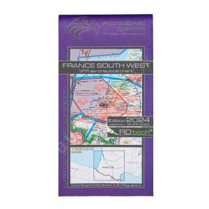
The Rogers Data VFR Charter France South West 2025 is a clear and detailed representation of the airspace structure of Southwest France, including Andorra. Featuring reporting points, restricted and dangerous areas, and traffic zones, this VFR flight chart at a 1:500,000 scale is essential for safe and precise navigation.
€29.90
The Rogers Data VFR Charter France South East 2025 is a clear and detailed representation of the airspace structure of Southeast France, including Monaco. Featuring reporting points, restricted and dangerous areas, and traffic zones, this VFR flight chart at a 1:500,000 scale is essential for safe and precise navigation.
€29.90
The Rogers Data VFR Charter Portugal 2025 is a clear and detailed representation of Portugal's airspace structure, including Madeira. Featuring reporting points, restricted and dangerous areas, and traffic zones, this VFR flight chart at a 1:500,000 scale is essential for safe and precise navigation.
€29.90
The Rogers Data VFR Charter Spain North East 2025 is a clear and detailed representation of the airspace structure of Northeast Spain, including Mallorca and Menorca. Featuring reporting points, restricted and dangerous areas, and traffic zones, this VFR flight chart at a 1:500,000 scale is essential for safe and precise navigation.
€29.90
The Rogers Data VFR Charter Spain South East 2025 is a clear and detailed representation of the airspace structure of Southeast Spain, including Ibiza and the Canary Islands. Featuring reporting points, restricted and dangerous areas, and traffic zones, this VFR flight chart at a 1:500,000 scale is essential for safe and precise navigation.
€29.90
The Rogers Data VFR Charter Spain South West 2025 is a clear and detailed representation of the airspace structure of Southwest Spain. Featuring reporting points, restricted and dangerous areas, and traffic zones, this VFR flight chart at a 1:500,000 scale is essential for safe and precise navigation.
€29.90
The Rogers Data VFR Charter Spain North West 2025 is a clear and detailed representation of the airspace structure of Northwest Spain. Featuring reporting points, restricted and dangerous areas, and traffic zones, this VFR flight chart at a 1:500,000 scale is essential for safe and precise navigation.
€29.90
The Rogers Data VFR Charter France South West 2024 is a clear representation of the structure of France's southwest airspace, with reporting points, restricted and hazardous areas, traffic zones and much more.
Scale: 1:500.000
Includes Andorra
Letter size (folded): 12.5 cm x 24 cm
Letter size (unfolded): 135.5 cm x 84 cm
€29.90
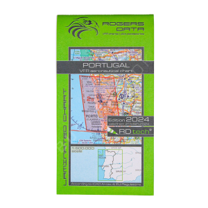
The Rogers Data VFR Charter Portugal 2024 is a clear representation of Portugal's airspace structure, with reporting points, restricted and hazardous areas, traffic zones and much more.
Scale: 1:500,000
Includes Madeira
Letter size (folded): 12.5 cm x 24 cm
Letter size (unfolded): 135.5 cm x 84 cm
Accesories for Aeronautical Charts
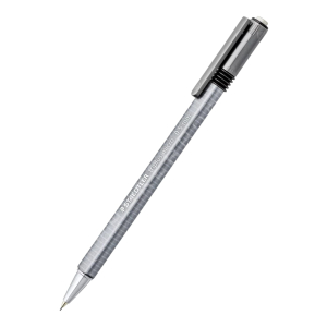
Mechanical Pencil Triplus Micro 774 Staedtler
Staedtler
77425BK25D
€5.00
The Mechanical Pencil Triplus Micro 774 Staedtler is a perfect writing tool, and its triangular design makes it more comfortable to use.
Includes HB leads
Lead thickness: 0.5 mm
€1.50
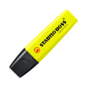
The Stabilo Boss Highlighter Marker is the perfect tool for highlighting areas, notes and notes.
Available in 6 colors.
€15.75
Get ready for your visual flights in Spain with the VFR500 ENAIRE 2024 Visual Chart, the essential tool for safe and accurate air navigation. This chart provides you with vital information for flying under VFR rules.
You will find detailed notification points, clear delimitation of restricted, dangerous, and prohibited areas, as well as crucial...
€11.00
The Introduction to Jeppesen Navigation Charts guide is a useful manual for the interpretation of Jeppesen navigation charts. It is published as a service provided by Jeppesen for learning how to use Jeppesen charts. Brief but concise, with many images and explanations.
Essential for pilots in training!
€14.50
The AFE AS-5 Ruler 41 cm is a precision aeronautical navigation tool, indispensable for pilots and flight students. Made from high-quality thick Plexiglas, it ensures durability and transparency for clear and accurate reading of aeronautical charts. Its beveled edges facilitate smooth gliding over charts and minimize parallax, improving measurement...
€28.00
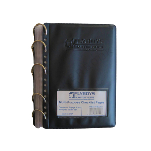
The Flyboys checklist book is a pre-assembled unit of 25 covers made of durable plastic, with vinyl front and back covers.
The set is bound with metal rings.
Book size: 12.7 cm x 20.3 cm
€84.15
€99.00
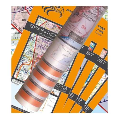
Spain Set of 4 Wallcharts – VFR ICAO Charts 500k
Edition: 2023
Valid from 23rd of March 2023
Laminated Aeronautical chart on a scale of 1:500.000
According to ICAO Annex 4; EU-Commission Regulations; AIP
charts rolled in a tube (chart is non-folded)
Dimension: 137,5 x 94 cm
Perfect for School- and Flight preparation-rooms or for your home
You can create...
€16.43
€21.90
AIR MILLION ZOOM + CARIBBEAN of the Antilles!
Last AIP update: AIRAC of 21/04/2022
Map at a scale of 1:250,000
Discover this map covering all the French West Indies. The map includes all the AIP information necessary for flying: airspace from SFC to FL180, controlled and restricted areas, aerodromes, radio facilities, etc.
All with the new AIRMILLION...
€16.43
€21.90
Belgium, Luxembourg, south of Netherlands and Amsterdam
Update : AIRAC 4/23 (April 20th 2023)
Scale : 1:250,000
All useful information for VFR flight :
Airfields and microlight airfields
Airspaces between H05 and FL195 (controlled areas from class A to class E, restricted areas, military training areas…)
Sporting activities
Natural sites
Radio...
€16.43
€21.90
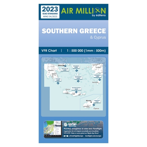
South of Greece, Crete and Cyprus
Update : AIRAC 4/23 (April 20th 2023)
Scale : 1:500,000
All useful information for VFR flight :
Airfields and microlight airfields
Airspaces between H05 and FL195 (controlled areas from class A to class E, restricted areas, military training areas…)
Sporting activities
Natural sites
Radio navigation aids en-route
VFR...
€16.43
€21.90
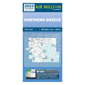
North of Greece, south of Albania and Republic of Macedonia
Update : AIRAC 4/23 (April 20th 2023)
Scale : 1:500,000
All useful information for VFR flight :
Airfields and microlight airfields
Airspaces between H05 and FL195 (controlled areas from class A to class E, restricted areas, military training areas…)
Sporting activities
Natural sites
Radio...
€19.44
€29.90
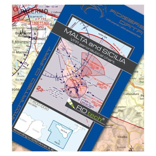
Malta-Sicily VFR Aeronautical Chart ICAO Chart 500k Edition: 2023
Valid from 23rd of March 2023
Laminated Aeronautical chart on a scale of 1:500.000
According to ICAO Annex 4; EU-Commission Regulations; AIP
Clear representation of the ATS airspace structure
Reporting points, border crossing points
Danger- and restricted areas
Aerial sporting and...
€19.44
€29.90
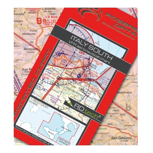
Italy South VFR Aeronautical Chart – ICAO Chart 500k incl. Sicily, Lampedusa and Malta Edition: 2023
Valid from 23rd of March 2023
Laminated Aeronautical chart on a scale of 1:500.000
According to ICAO Annex 4; EU-Commission Regulations; AIP
Clear representation of the ATS airspace structure
Reporting points, border crossing points
Danger- and restricted...
€1.70
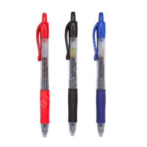
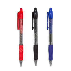
The Pilot G2 Pen is designed for comfortable, long-lasting, quality writing.
Gel ink.
Ball point.
Grip at the bottom reduces fatigue when writing and makes the grip more comfortable.
Retractable.
Writing surfaces: Paper.
Ball diameter: 0.7 mm.
Refills available in black, blue and red.
€1.50
The Pilot Supergrip Pen is designed to provide comfortable, long-lasting, quality writing.
Oil-based ink.
Ball point.
Grip at the bottom reduces writing fatigue and makes the grip more comfortable.
Retractable.
Writing surfaces: Paper.
Ball diameter: 1 mm
Refills available in black, blue and red.
€135.00
The Jeppesen General Student Pilot Route Manual (GSPRM), developed in cooperation with EASA, is essential for student pilots preparing for ATPL exams with the new ECQB-5 question bank. It includes a selection of EASA-defined Jeppesen navigation charts, glossary excerpts, air traffic control information, an airport directory, route charts for Europe and...
€8.90
Our Set of 10 Rogers Data RD tech® cleaning tissues are a nice and useful cockpit accessory that should not be missing in your flight bag as a “daily driver”!
Our Rogers Data RD tech® cleaning tissues have been optimized and tested for all new Rogers Data RD tech® VFR aeronautical charts – ICAO charts. With our RD tech® pens you can make markings and...
€2.50
The Staedtler Lumocolor Omnichrom 108 Pencil is the perfect tool for accurately marking areas and locations on your maps and notes. Its versatility makes it ideal for working with laminated charts from Enaire, RogerData, and AirMillion, as well as other smooth surfaces.
Available in a range of 6 colors, it offers options for clear and organized visual...
€15.00
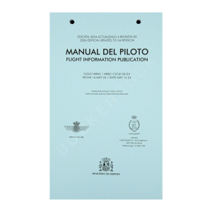
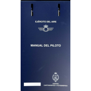
The Manual del Piloto Ejercito del Aire contains the instrument cards of Spanish airports.
EDITION: 16 MAY 2024
AIRAC: 04/24
Accesories for Aeronautical Charts
Tapas Manual del Piloto Ejí©rcito del Aire
Mº Defensa
EA-820100050
€2.60
Disponible en unos das
€8.95
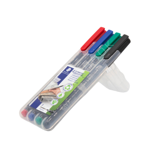
The Staedtler Pencil Case 0.6mm is perfect for marking areas or sites on your maps or notes.
Ideal for Enaire, RogerData, and AirMillion laminated charts.
Tip size: 0.6 mm
Available in Red, Blue, Green and Black colors.
€5.00
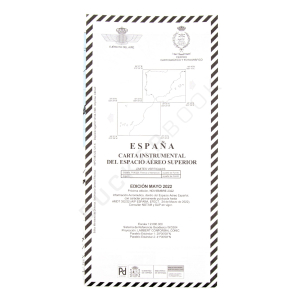
The IFR Chart Spain Air Force Superior Airspace has the information for instrument flights in the Spanish Upper Airspace. It is published by the Ministry of Defense.
It covers the peninsula and the Balearic and Canary Islands.
Scale: 1:2.000.000
Updated to May 2024.
€22.90
The Chart Organizer D4P is your perfect ally for carrying the aeronautical charts you need for each flight and keeping them in perfect condition. Made from durable nylon, this Chart Organizer D4P stands out for its elegant, functional, and compact design (17 cm x 28.5 cm). With its multiple compartments and transparent pockets, it ensures quick...


