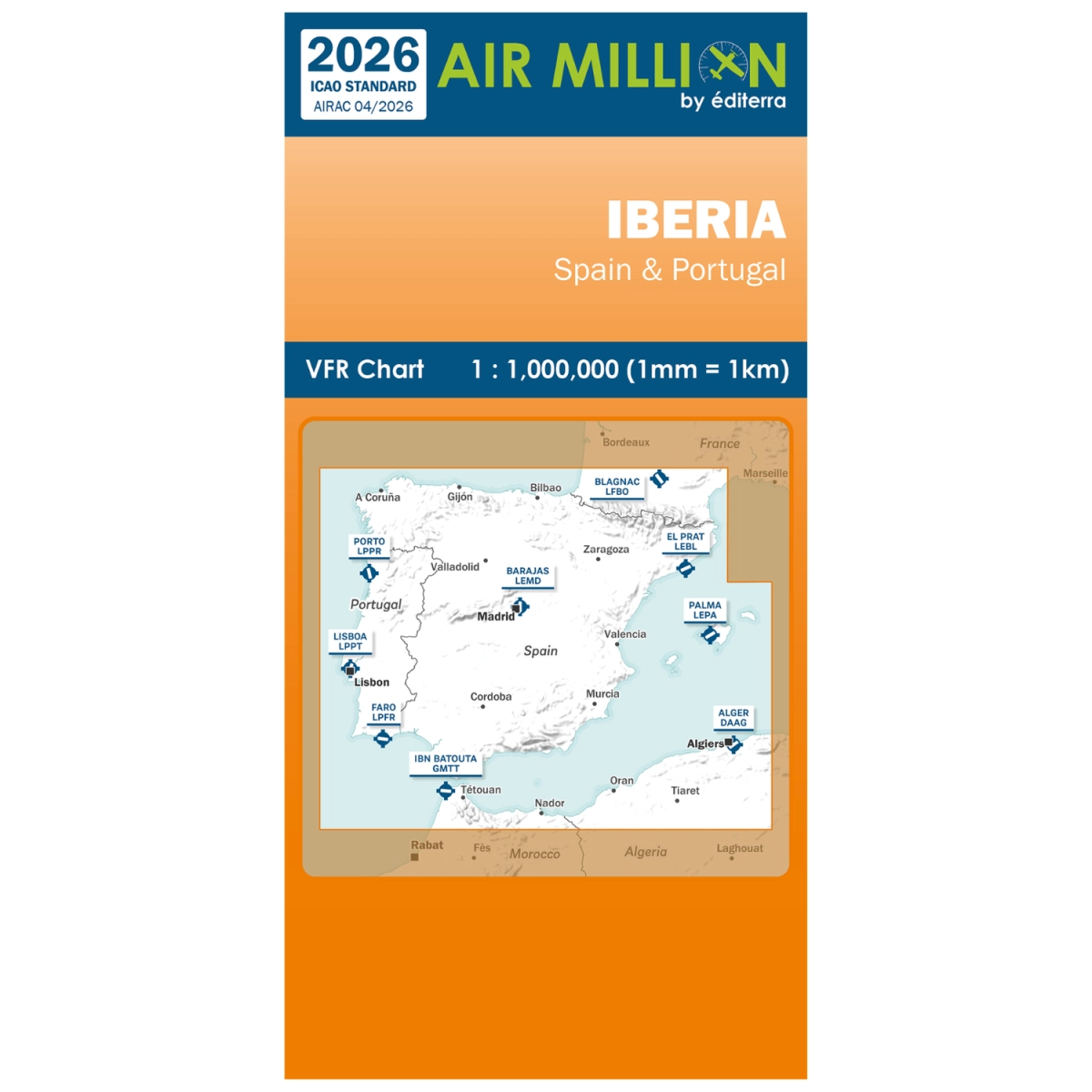
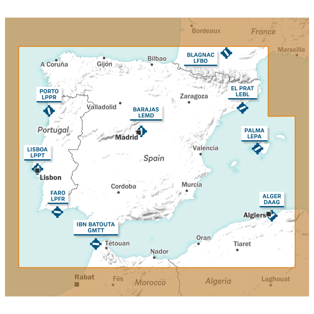
Plan and execute your visual routes with complete precision, total clarity, and confidence across the Iberian Peninsula using the new Air Million VFR Iberia 2026 Chart. Specifically engineered to meet the highest operational standards of every commercial pilot, private aviator, flight instructor, and student pilot, this cartographic publication is updated under the AIRAC 6/26 standard (effective April 16, 2026). It fully complies with ICAO regulations and official AIP specifications, serving as an indispensable visual reference inside the cockpit during every single flight.
Featuring a precise 1:1,000,000 technical scale (where 1 mm on paper equals exactly 1 real-world km), this map offers seamless coverage across Spain, Portugal, and the Balearic Islands. It accurately depicts airspace structures from H05 up to FL195 (classes A through E), including aerodromes, ultralight (ULM) airfields, restricted areas, military training zones, natural parks, obstacles, and topographic terrain relief. It also details en-route radio navigation aids, frequencies, and official VFR reporting points to maintain superior situational awareness during air transport operations.
The primary advantage of this Air Million edition lies in its professional printing on specialized 72 g/m² Progeo paper (non-laminated), the exact high-grade material chosen by prestigious mapping agencies like IGN and Michelin. This map stands out for being extraordinarily lightweight (weighing just 100 g total) and remarkably easy to handle. It allows a compact folded size of 123.6 x 252.5 mm, ideal for restricted cockpit spaces, while completely eliminating annoying glare under direct sunlight. Keep your flight documentation up to date by browsing our selection in the VFR charts section at Bucker Book.
Features of Air Million VFR Iberia 2026 Chart
- ✈️ Comprehensive Iberian Coverage: Complete geographic layout of Spain, Portugal, and the Balearic Islands with detailed relief.
- 📅 Official AIRAC 6/26 Update: Fully updated data effective April 16, 2026, meeting all strict ICAO cartographic standards.
- 📐 Intuitive 1:1,000,000 Scale: Practical proportion where 1 mm equals 1 km, facilitating quick VFR distance and route calculations.
- 📄 Specialized Progeo 72 g/m² Paper: Highly durable, non-laminated, glare-free material built for smooth and easy cockpit folding.
- 📡 Complete Aeronautical Structure: Thorough detail on airspaces (A to E), ULM airfields, radio aids, and VFR reporting points.
Technical Specifications
- 📍 Coverage Region: Spain, Portugal, and Balearic Islands.
- 📅 Validity & Standards: AIRAC 6/26 (April 16, 2026) / ICAO Standard.
- 📏 Cartographic Scale: 1:1,000,000.
- 📄 Printing Material: Specialized Progeo 72 g/m² paper (non-laminated).
- 📐 Dimensions & Weight: Unfolded 1359.4 x 1010 mm; folded 123.6 x 252.5 mm; weight 100 g.
Frequently Asked Questions (FAQs)
Which geographic areas are covered by the Iberia 2026 edition?
The chart covers the entire Iberian Peninsula (Spain and Portugal) along with the Balearic Islands archipelago, providing continuous mapping across a single map format.
Is it easy to fold and handle inside a compact cockpit?
Yes, thanks to its specialized 72 g/m² Progeo paper, the chart folds into a very compact format (123.6 x 252.5 mm) and weighs only 100 grams, making cockpit manipulation effortless.
Is the map laminated or will it produce glare under direct sunlight?
It is non-laminated, which completely prevents sunlight reflections during flight while allowing pilots to easily write down notes directly on the paper surface.